
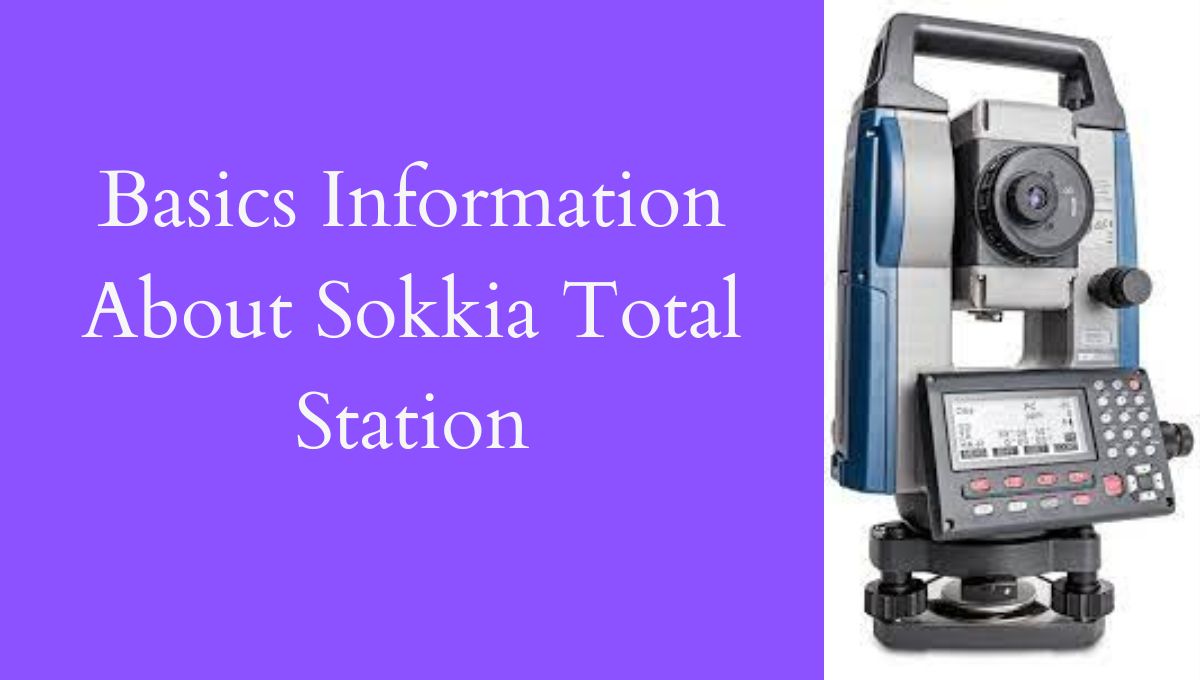
Sokkia Total Station
Sokkia Total Station is a surveying tool used to measure distances, angles, and levels on land and other objects. It’s highly accurate and has advanced features.
Workability of Sokkia Total Station
Sokkia Total Station is a tool used in land surveying that provides precise measurements of distances, angles, and elevations. It has advanced features, is durable, and is easy to use. Surveying professionals appreciate its user-friendly interface and powerful software. Overall, Sokkia Total Station makes surveying work easier and more accurate.
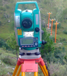
Parts of Sokkia Total Station
A total station consists of the following parts.
Electronic Theodolite:
This component allows the user to measure horizontal and vertical angles with high precision.
Electronic Distance Meter (E.D.M):
This component enables the user to measure distances with high accuracy, using either prism or reflectorless methods.
Data Collector:
This component is used to store, and analyze the data collected by the instrument.
Display Unit:
This component shows the readings and measurements taken by the electronic theodolite and EDM.
Battery:
This component provides power to the total station.
Tripod:
This component holds the total station securely in place and allows the user to adjust its height and orientation.
Prism:
This component is used to reflect the E.D.M signal back to the total station, enabling the user to measure distances to specific points.