In this article we will try to specify the effectiveness of drone, uses in surveying system, work-ability and easiness during Surveying.
Myself Irfan and I am Working as General Surveyor. In the modern world drone is now used to survey for different area and to specify area of land for topography or contouring.
The main uses of Drone are..!
Enhanced Data Collection. Offer unique aerial perspectives and high-resolution imagery.
Efficiency and Speed. Enable rapid deployment and faster data processing.
Cost-Effectiveness. Lower operational and labor costs compared to traditional methods.
Safety. Access hazardous environments without risking human lives.
Accessibility. Reach remote and hard-to-reach areas, vital for disaster response.
Environmental Impact. Reduce carbon footprint and monitor wildlife without disturbance
Public Safety and Security. Aid in law enforcement, search and rescue, and firefighting.
Commercial Applications. Used in delivery services and media production.
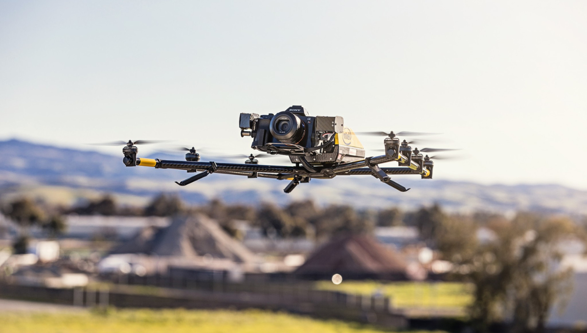
Parts Of Drone.
Drone is a modern equipment for survey after Total station and GPS. The main parts of Drone includes:
1. Drones. The flying platforms.
2. Sensors and Cameras. Including RGB, LiDAR, multispectral, hyperspectral, and thermal cameras.
3.Ground Control Stations. For flight planning and real-time monitoring.
4. Data Processing Software. To convert raw data into usable formats like 3D models and digital maps.
Applications.
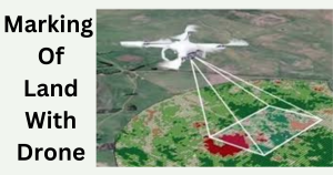
Drone Survey is apply to work on different projects.
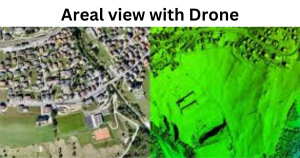
Land Surveying. Mapping terrain.
Agriculture. Monitoring crops.
Mining. Volumetric measurements and site monitoring.
Construction. Tracking progress and inspections.
Environmental Monitoring. Assessing habitats and wildlife.
Disaster Management. Evaluating damage and planning rescue operations.

Advantages of Drone Surveying.
the advantages of drone survey are…!
Speed and Efficiency. Quick data collection.
Cost-Effectiveness. Lower operational costs.
Accuracy. High-resolution data.
Safety. Access to hazardous areas without risk.
Challenges Facing Drone Surveying.
Here are some key challenges facing a surveyor during surveying a project.
1. Regulatory Compliance
- Airspace Restrictions. Navigating complex regulations and obtaining necessary permissions from aviation authorities can be time-consuming.
- Licensing and Certifications. Operators often need specific licenses and certifications to fly drones legally.
2. Weather Conditions
- Adverse Weather. Drones are sensitive to weather conditions like strong winds, rain, snow, and extreme temperatures, which can affect flight stability and data quality.
- Limited Flight Time. Battery life can be significantly reduced in extreme temperatures, impacting the duration of surveys.
3. Technical Limitations
- Battery Life. Short battery life limits flight duration and range, requiring frequent battery changes or multiple drones for large areas.
- Signal Interference. GPS signal loss or interference can disrupt flight operations and data accuracy.
4. Data Management
- Large Data Volumes. Handling and processing large volumes of data require robust storage solutions and powerful processing capabilities.
- Data Accuracy. Ensuring data accuracy and consistency, especially when stitching together images to create maps or 3D models.
5. Operational Challenges
- Terrain and Accessibility. Launching and landing drones in rugged or densely vegetated areas can be difficult.
- Obstacle Avoidance. Navigating around obstacles like trees, buildings, and power lines requires advanced sensors and software.
6. Privacy and Security Concerns
- Privacy Issues. Drones flying over private property can raise privacy concerns and legal issues.
7. Cost and Resource Allocation
- Initial Investment. High initial costs for purchasing drones, sensors, and software.
- Maintenance and Repairs. Ongoing costs for maintenance, repairs, and software updates.
8. Training and Expertise
- Skilled Operators. Need for trained and experienced operators to handle drone operations and data analysis.
- Continuous Learning. Keeping up with rapidly evolving technology and regulatory changes.
In order to explain more the drone survey, its time consumption method and easy to use in all places and specially for plain projects.
Moreover drone survey makes our work smart and easy on different construction projects. It helps to work with efficiency and with short time to compete and to complete the given task.