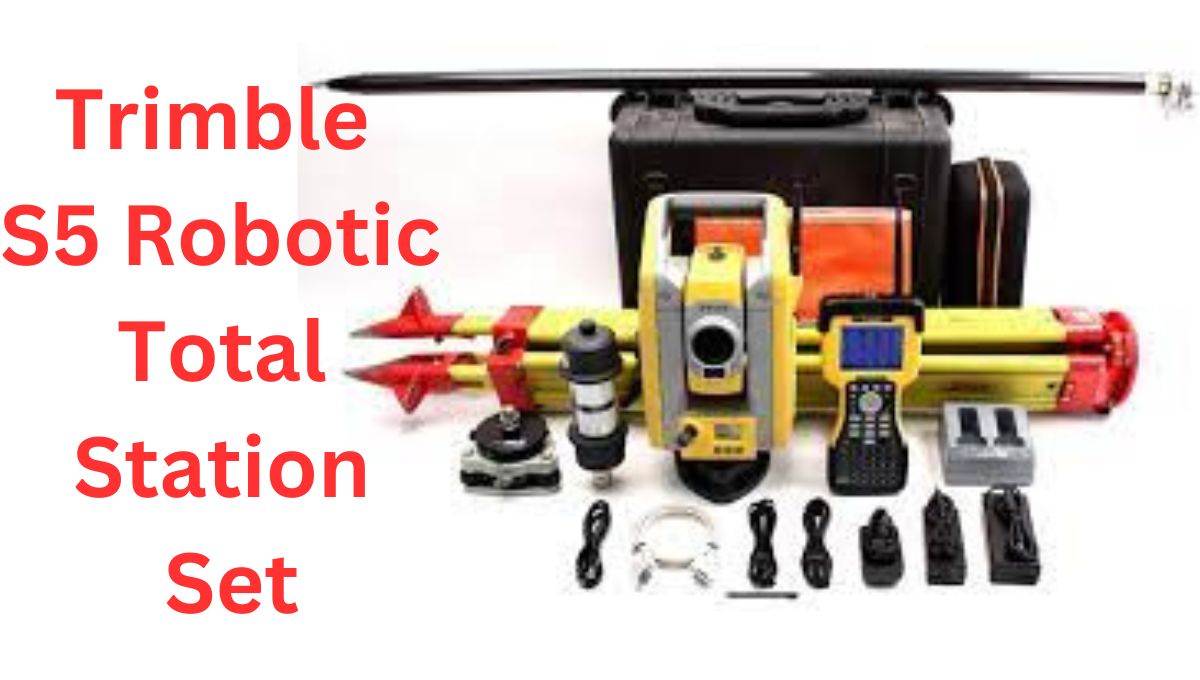
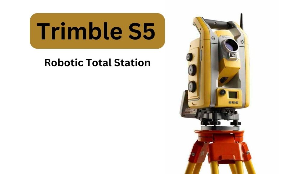
The Trimble S5 total station is a high-precision surveying instrument developed by Trimble, a leading provider of advanced positioning solutions. It combines advanced optical and measurement technologies to offer accurate and efficient surveying capabilities.
Key Features.
Here is a detailed overview of the S5 total station.
Measurement Capabilities.
The total station offers both angle and distance measurement capabilities. It utilizes advanced electronic distance measurement (EDM) technology to provide precise distance measurements. The instrument can measure distances up to several kilometers with millimeter-level accuracy. Additionally, it features a high-accuracy angular measurement system, allowing for precise horizontal and vertical angle measurements.
Integrated Imaging and Video Capabilities.
One of the standout features of the instrument is its integrated imaging and video capabilities. These visuals can be used for documentation, reference, and communication purposes, making it easier to understand and analyze the surveying data.
Robotic and Auto-tracking Functionality.
The total station can be used in both conventional and robotic surveying modes. In the robotic mode, it can be controlled remotely using a controller or tablet, enabling a single surveyor to operate the instrument efficiently. The auto-tracking functionality of the S5 allows it to automatically follow and track a prism, making it ideal for monitoring applications or when conducting surveys in challenging environments.
Access Software.
The instrument is compatible with Access software, which is a powerful field software solution that enables surveyors to efficiently collect, process, and manage surveying data. The software provides a user-friendly interface and offers various surveying routines, data editing tools, and quality control features. This instrument Access allows for seamless integration with other instruments and software, enhancing productivity and streamlining workflows.
Rugged Design and Long Battery Life.
The total station is designed to withstand harsh environmental conditions typically encountered in the field. It is built with rugged materials and features an IP55 rating for dust and water resistance. This ensures the instrument’s durability and reliability in demanding surveying projects.
Data Compatibility and Connectivity.
The total station supports various data formats, making it compatible with industry-standard surveying software and equipment. It can export data in commonly used formats such as DXF, CSV, and ASCII, enabling seamless data transfer and integration with other software applications.
Accuracy and Precision.
The total station is renowned for its exceptional accuracy and precision. It provides highly reliable measurements with angular accuracy typically within seconds and distance accuracy in the range of millimeters. This level of precision makes it suitable for a wide range of surveying applications, including topographic surveys, construction layouts, boundary surveys, and monitoring projects.
Integrated Software in Trimble S5 Total Station
The S5 total station integrates with several software solutions to enhance its functionality and streamline surveying workflows. The key software options available for this instrument are:
1. Trimble Access.
Field software for data collection, processing, and management.
1.Business Center
A software suite for survey data processing, analysis, and visualization.
2. Real Works.
Software for processing and analyzing point cloud data and creating 3D models.
3. Trimble S5 Sync Manager.
Cloud-based solution for data synchronization and management.
4. Trimble S5 Connect.
Cloud-based collaboration platform for sharing survey data and facilitating real-time collaboration.
These software solutions, combined with the total station, provide a comprehensive ecosystem for efficient data collection, transfer, processing, and collaboration in surveying projects.

Uses of Trimble S5 Total Station.
The total station is a unique and modern instrument that finds application in various surveying and construction tasks. Some common uses of the instrument are as under.
Topographic Surveys.
This instrument is used for topographic surveys to collect accurate data about the coordinates measurement, contours, and features of the land. It enables surveyors to measure angles, distances, and elevations with high precision, providing essential information for mapping, land development, and infrastructure projects.
Construction Layout.
The instrument is utilized for construction layout tasks, such as setting out building corners, grid lines, and reference points on construction sites. It enables surveyors to accurately position and mark locations for excavation, foundation, walls, and other elements of the construction project, ensuring proper alignment and adherence to design specifications.
Boundary Surveys.
The instrument is employed for boundary surveys to determine and establish property boundaries accurately. It helps surveyors in measuring distances and angles between boundary points, allowing for the demarcation of property lines and the creation of boundary survey reports.
Monitoring and Deformation Analysis.
The instrument, with its auto-tracking functionality, is used for monitoring applications, such as monitoring the stability and movement of structures, land slopes, or mining areas. It enables continuous tracking of target points over time, providing data for deformation analysis and helping detect potential issues or changes in the monitored area.
As-Built Documentation.
The S5 is utilized for capturing accurate measurements and imagery of existing structures, utilities, and infrastructure for as-built documentation. It helps surveyors in creating detailed and precise records of the actual conditions and dimensions of constructed elements, facilitating effective asset management, facility maintenance, and renovation projects.
Engineering Surveys.
The S5 is employed in engineering surveys for infrastructure projects, including road construction, bridge design, and utility planning. It assists in gathering precise data on existing conditions, establishing control points, and providing accurate measurements for design and construction purposes.
Volumetric Calculations.
The instrument is used for calculating volumes of earthworks, stockpiles, and other terrain features. It enables surveyors to measure multiple points and surfaces, allowing for accurate volume calculations for excavation, fill, and material management in construction and mining projects.
These are some of the common uses of the S5 total station. Its accuracy, advanced features, and compatibility with software solutions make it a valuable tool for surveyors, engineers, and construction professionals across a range of applications.
Conclusion
The S5 total station is a high-tech surveying instrument that offers precise measurements, imaging capabilities, and robotic operation. It is used for a wide range of surveying tasks such as topographic surveys, construction layouts, and boundary surveys. The instrument’s durability, long battery life, and compatibility with software like its Access make it a valuable tool for professionals in the surveying and engineering fields, allowing for efficient and accurate data collection.