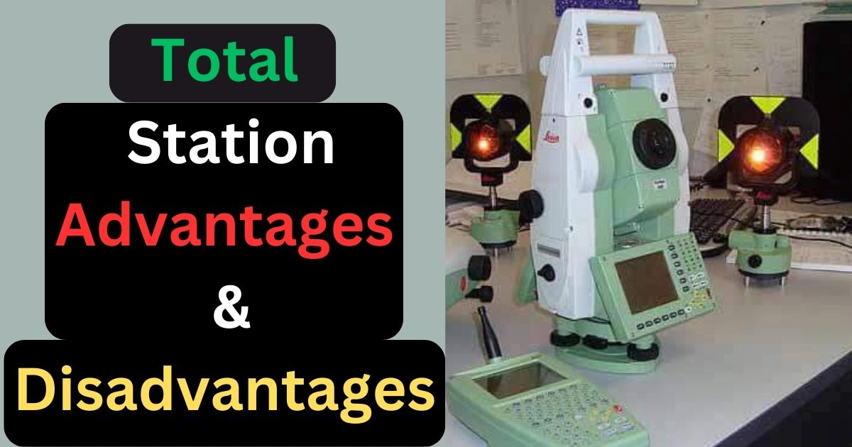
A total station is a tool used to measure and record coordinates, and horizontal and vertical distances of land. It combines a measuring device that calculates distances with a tool that measures angles. It’s used in industries like construction and other civil engineering projects. Data from the total station can be sent to a computer for further analysis and mapping, making it a useful tool for modern surveying and engineering projects.

Use of Total Station in Different Industries
Total stations are used in various industries for different purposes. Here are some examples:
1. Construction:
The instruments are used for site layout, grading, and excavation, monitoring structural movements, and verifying the accuracy of finished work.
2. Civil engineering:
The instruments are used for building and designing infrastructure projects such as roads, bridges, tunnels, and pipelines. They are used for surveying land and mapping out project layouts.
3. Land surveying:
The instruments are used for mapping out property boundaries, creating topographical maps, and measuring land elevations and contours.
4. Mining:
The instruments are used for measuring and mapping underground mine tunnels, monitoring the stability of mine walls, and surveying mine reserves.
5. Archaeology:
This instrument also used for creating accurate site maps, measuring the depth and location of artifacts, and creating 3D models of excavation sites.
Merits of Total Station
Here are some advantages of using a total station:
1. High Accuracy
The total station provides high-accuracy measurements of distances, angles, and also elevations, which are essential in many applications such as construction, and land surveying.
2. Efficient Data Collection
The instrument can collect data easily, quickly, and efficiently.
4. Easy to Handle
Total stations are user-friendly, and many models come with easy software for easy data management and analysis.
5. Integration with Other Technologies
The instrument can be integrated with other technologies like GPS and GIS to provide more comprehensive and better results
6. Reduced Human Error
This instrument decreases the possibility of human error as they eliminate the need for manual calculations, measurements, and recording of data.
Demerits of Total Station
The instrument has some disadvantages also.
This instrument is too much costly and people cannot afford it as simple surveying. eg. to take the dimension of the plot.
This instrument is sensitive also and you need to learn about this instrument before operating.
Also, you cannot use the instrument in weak weather conditions.